Croeso y Cymru – Welcome to Wales
Tuesday, 07.04.2015
This morning the weather is as brilliant as it was yesterday, with bright sunshine instead of everlasting rain like the weatherforecast had predicted when we left Hamburg.
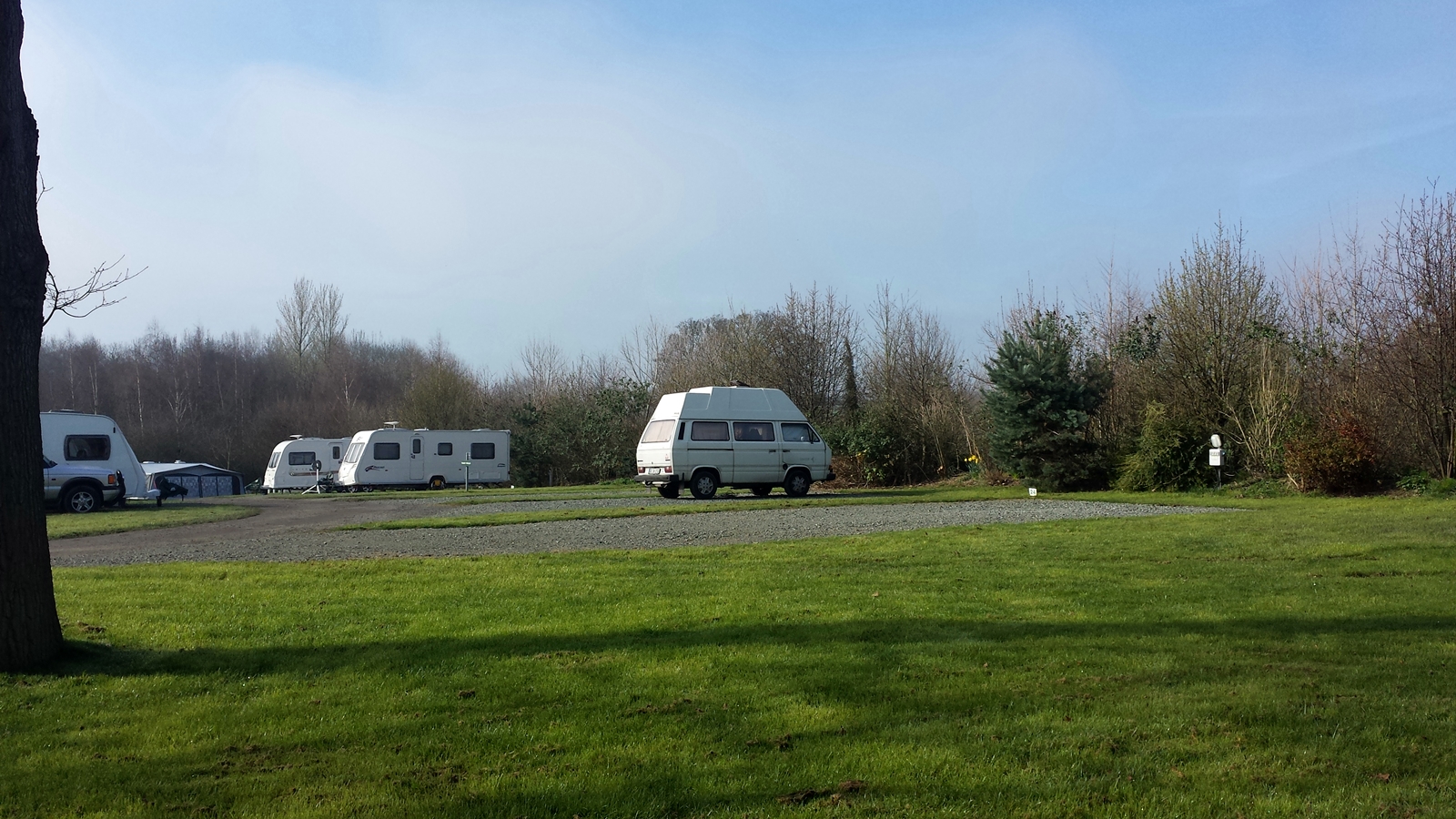
Clay’s Touring & Leisure Park
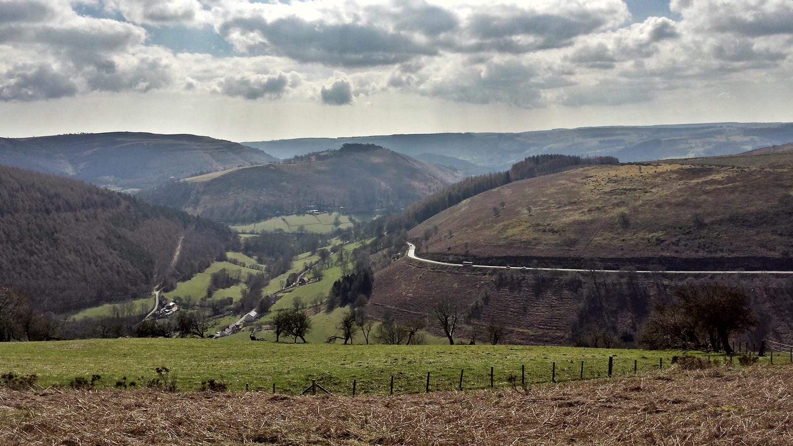
Even though we are actually already in Wales, today we will enter the secluded mountain ranges of this beautiful part of the British mainland. First stop is the Ponderosa Café on top of Horseshoe Pass at an altitude of some 400 meters above sea level, featuring a phantastic view of the Welsh mountains.
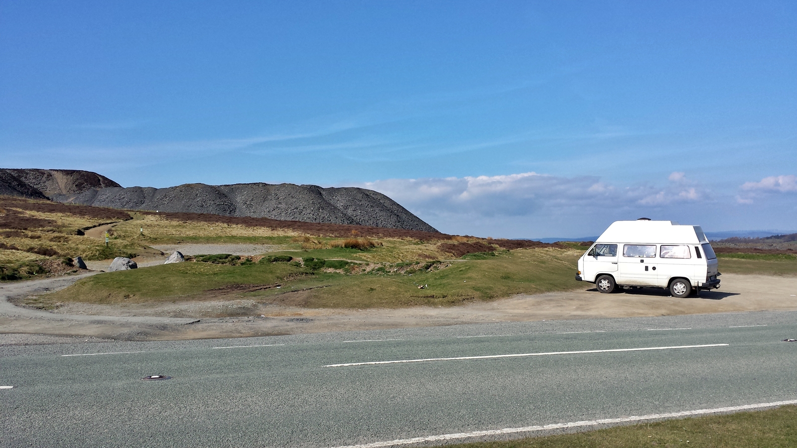
Horseshoe Pass
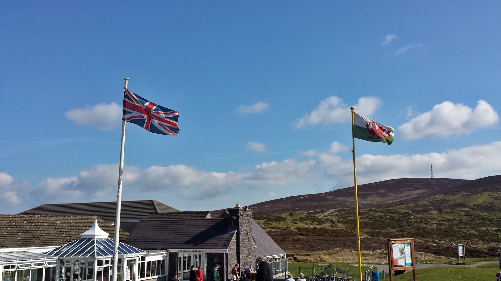
Ponderosa Café
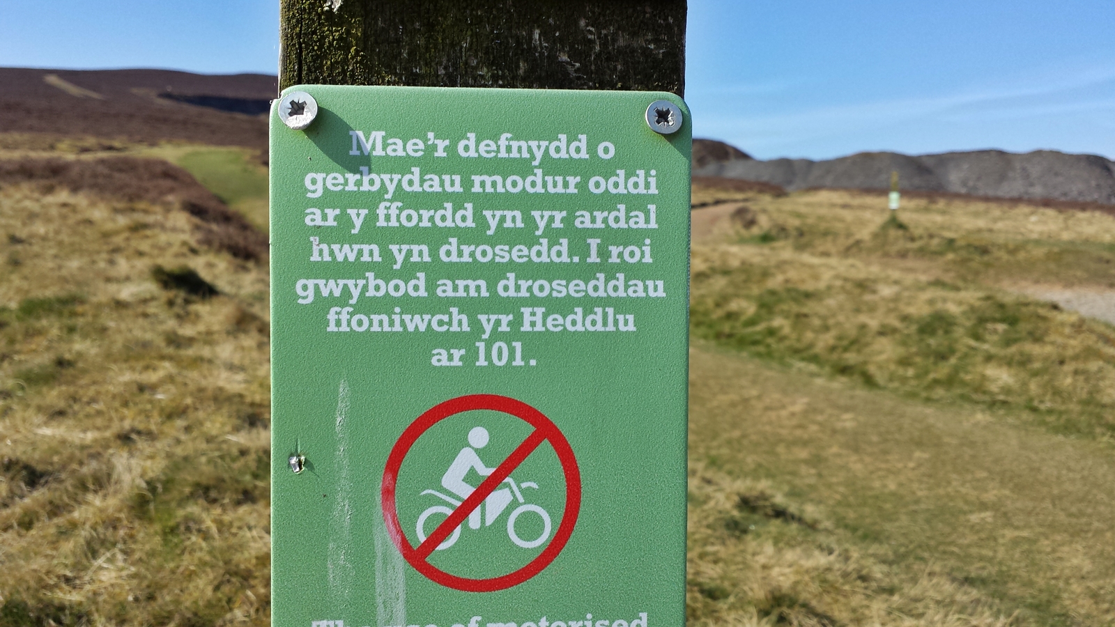
Very strange language: Welsh
Horseshoe Pass
After a wonderful breakfast at Ponderosa Café we get immediately lost, since going down the main roads all the time is boring. So we just follow our nose without any satnav. Near Llandderfel we come to an intersection with one of the region’s typical stone bridges to the left, so we park the Didimobile and admire this old piece of architecture.
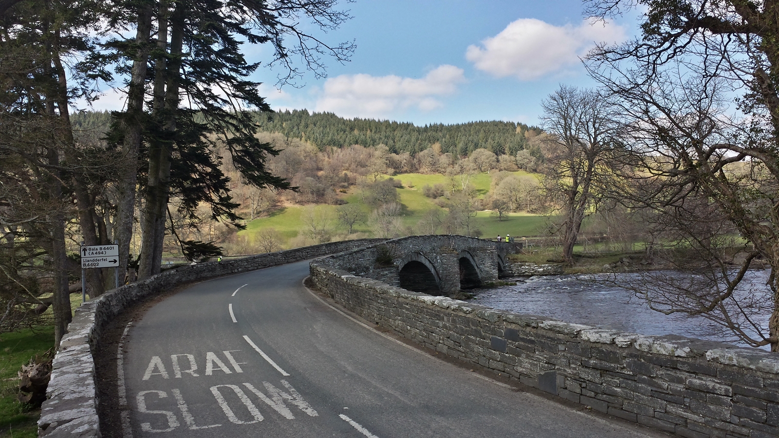
Bridge near Llandderfel
In England, road signs tend to only show the way to the nearest villages but never the direction to any major town. Unfortunately, there is absolutely no mobile internet in this area and we have absolutely no idea where exactly we are, so we ask two road workers of the national roads authoritiy, who are doing some maintenance work to the bridge, for the way to Bala. To our surprise they have no idea of where they are either, they do not have any mobile internet and of course no roadmap, too. How they know that they were repairing the right bridge will stay an unsolved mystery for us.
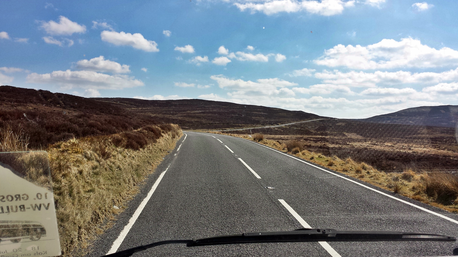
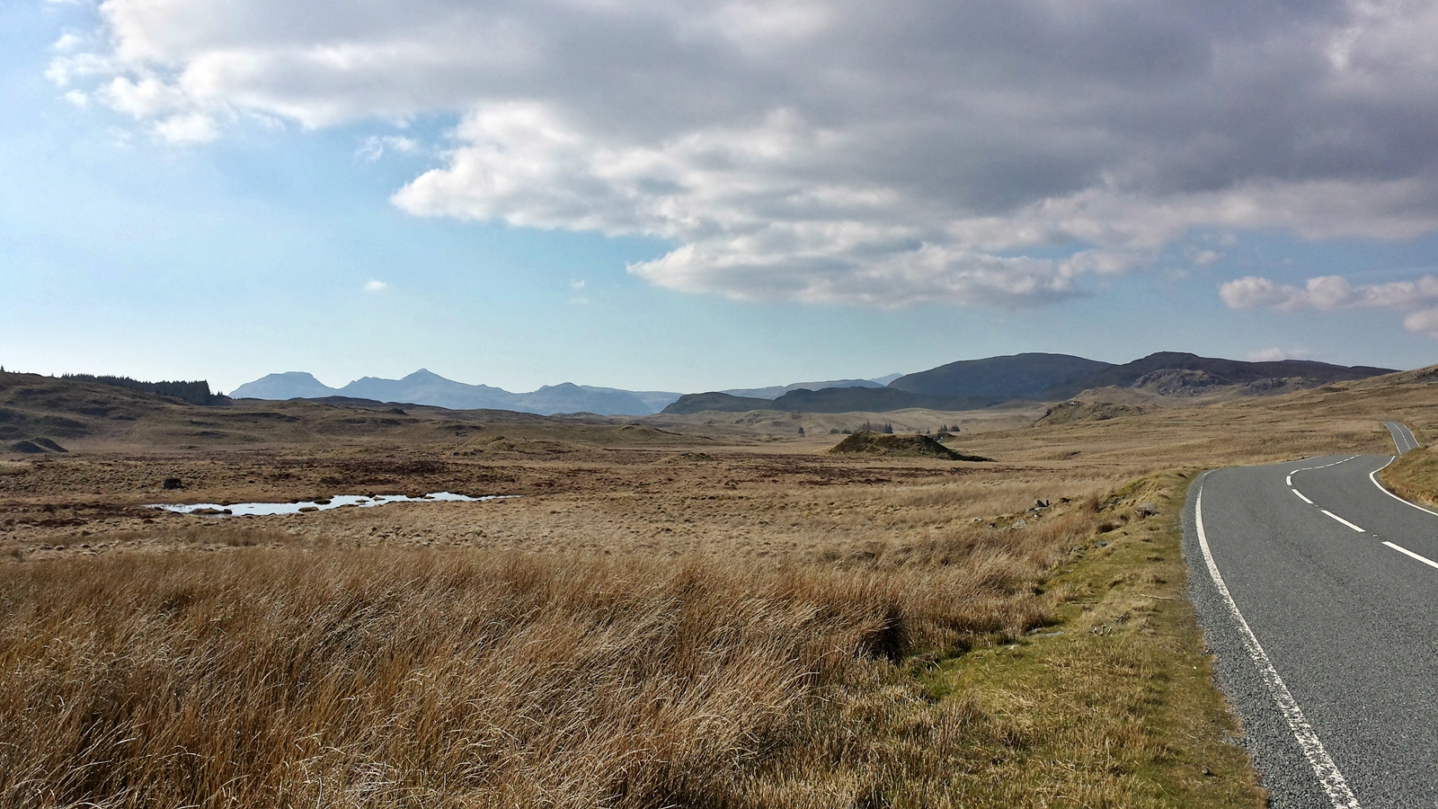
Lonesome distantness in the Welsh highlands
We chance our luck and decide for the westward road. The road over the barren Welsh highland is in a good condition, the only beings we meet on our way are two local sheep which are not really helpful in finding our way.
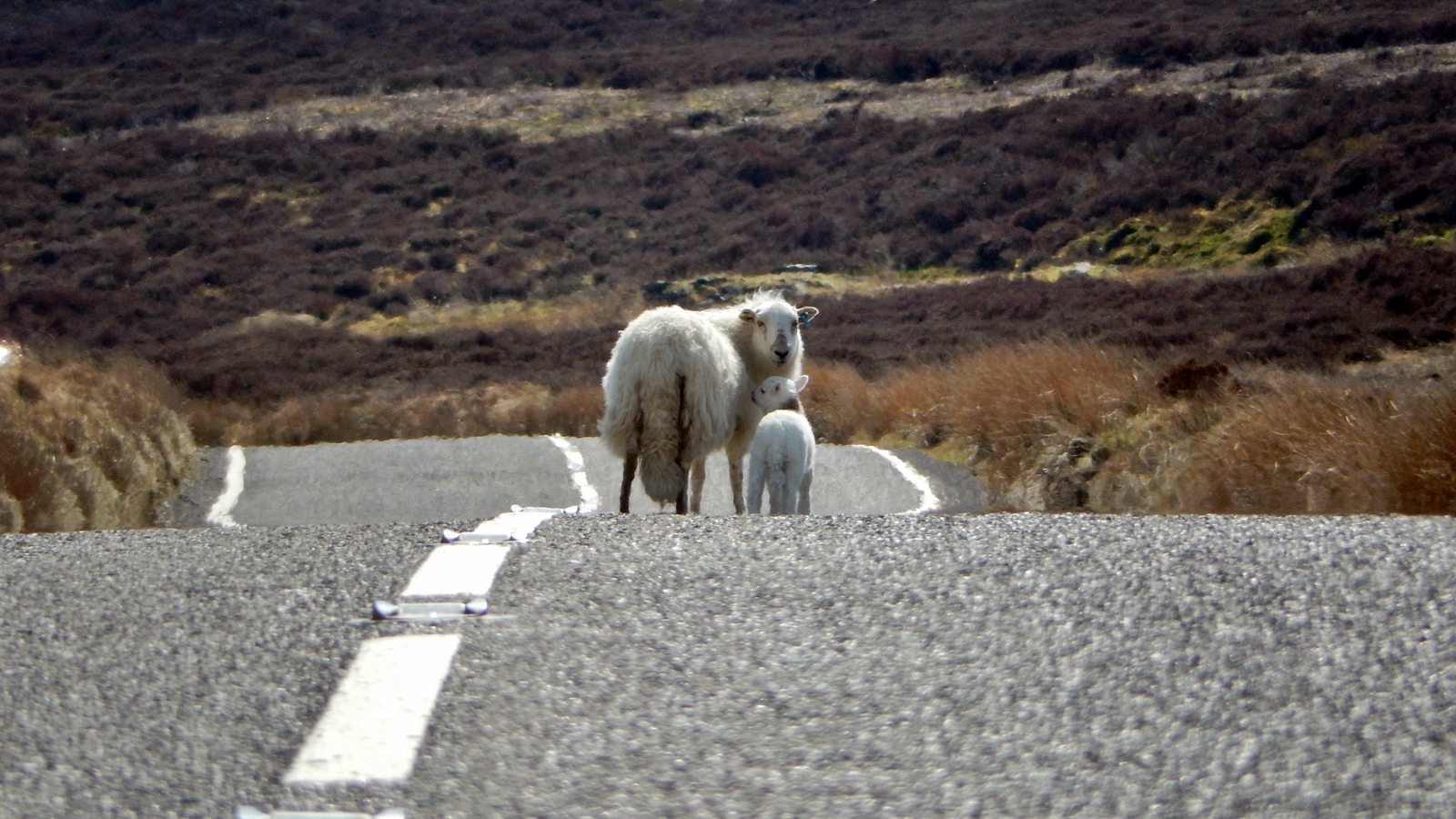
Sheep on the road
At some time or another the mobile internet starts working again so we are finally able to find the way to Wales’ highest waterfall which you have to know how to get there since the road past the dragon store is more than hard to make out without any signage .
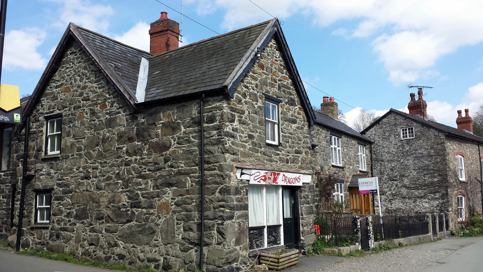
Dragons. Welcome to the medieval age.
This way to Wales’ highest waterfall
Pistyll Rhaeadr, the waterfall’s official name, lies at the end of a narrow, about six kilometers (four miles) long dead end road. Thus it is not a bad thing that there is no signage at all to the waterfall, otherwise there could be a slight traffic chaos on this tiny road from time to time.
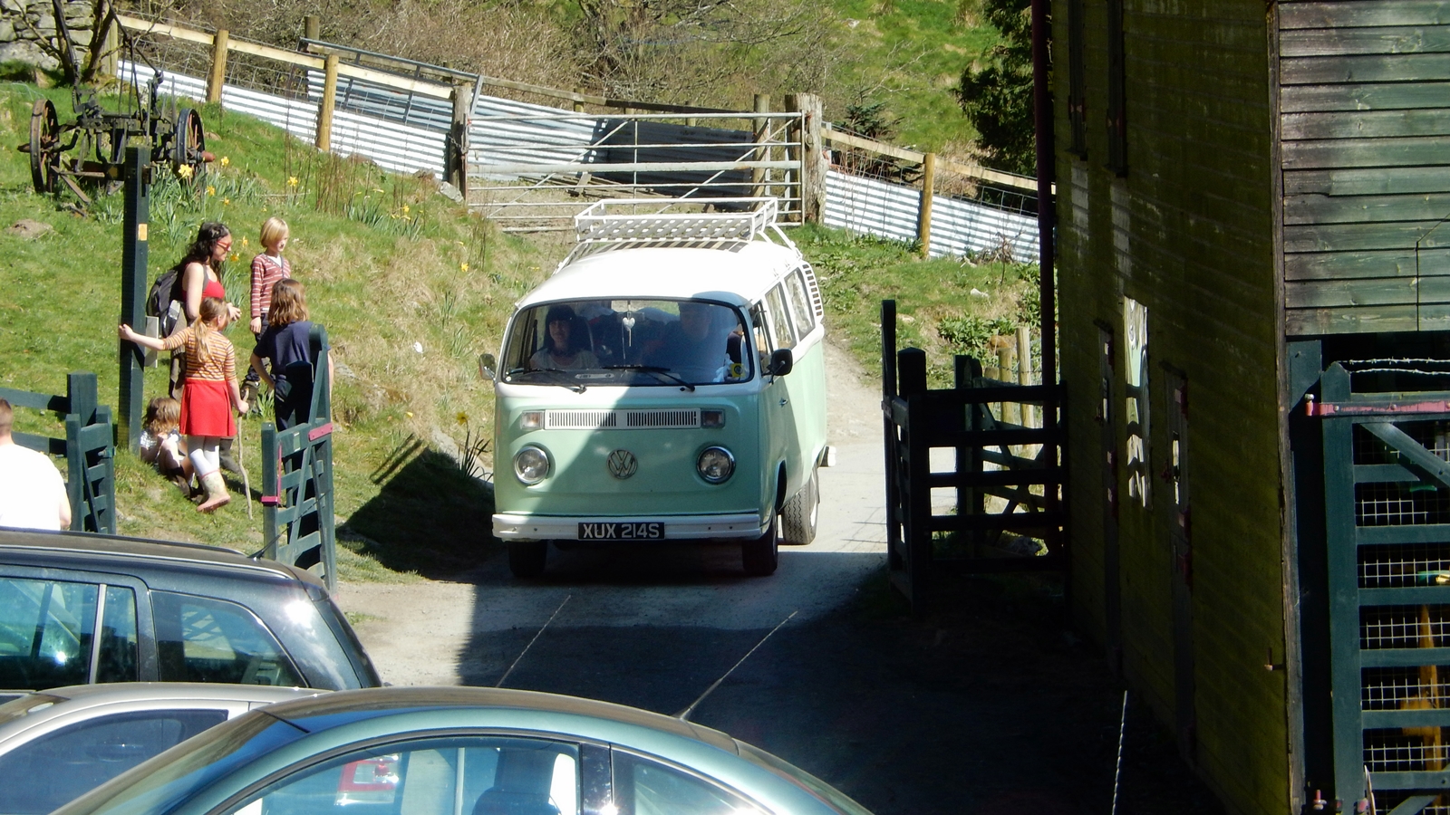
The British love their VW buses. ♥
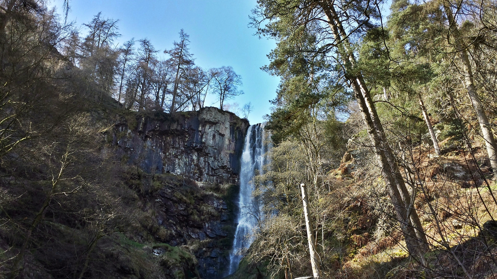
Pistyll Rhaeadr
Meanwhile the clock already shows 3pm, so we continue our roadtrip towards Snowdonia.
In England, roads are classified into four categories, A to D. The A-roads can be compared to German Bundesstraßen (state roads) and are often constructed as dual carriageways, B-roads resemble our Landes- and Kreisstraßen (federal and county roads) and often function as regional arteries. Many English people suggest to make use of A-roads only and refrain from using B-roads if possible. C- and D-roads would be immensely dangerous and should be avoided under any circumstances.
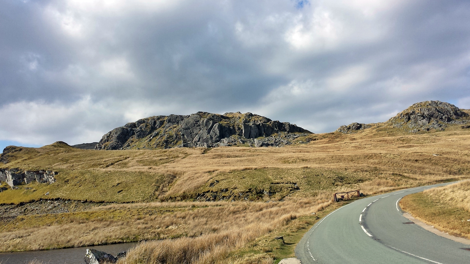
B-4391 crossing Snowdonia National Park
The B-roads we are using within Snowdonia National Park are far from being dangerous at all. Hardly any traffic and breathtaking alpine scenery, although we are only located nearly 500 meters above sea level.
Snowdonia
B-4406 via Carrog to Penmachno seems to be more like one of the “impassable” C- or D-roads to us. Apart from the obligatory sheep besides the road we shall remain the only travellers on this narrow single-lane road.
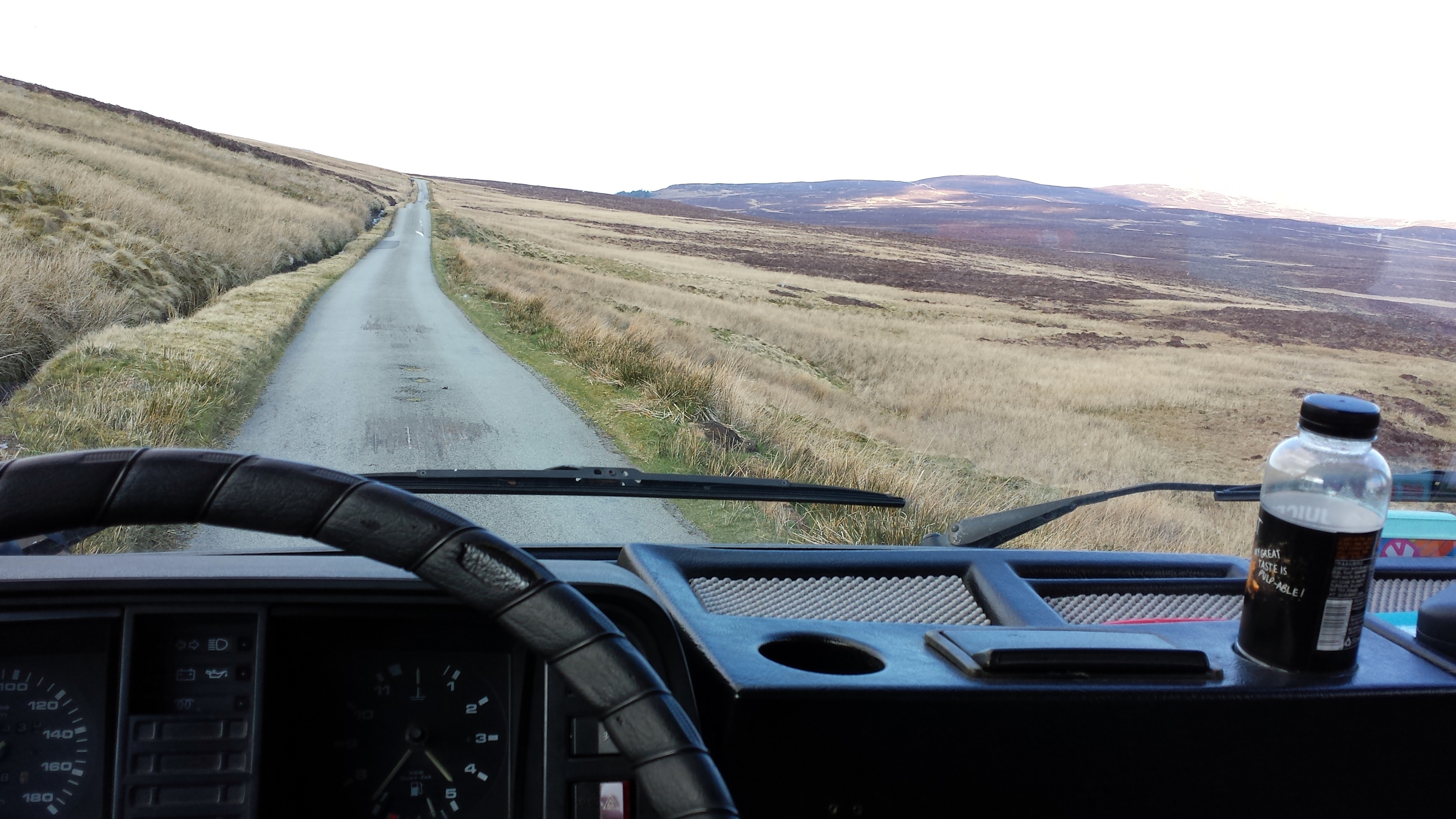
B-4406
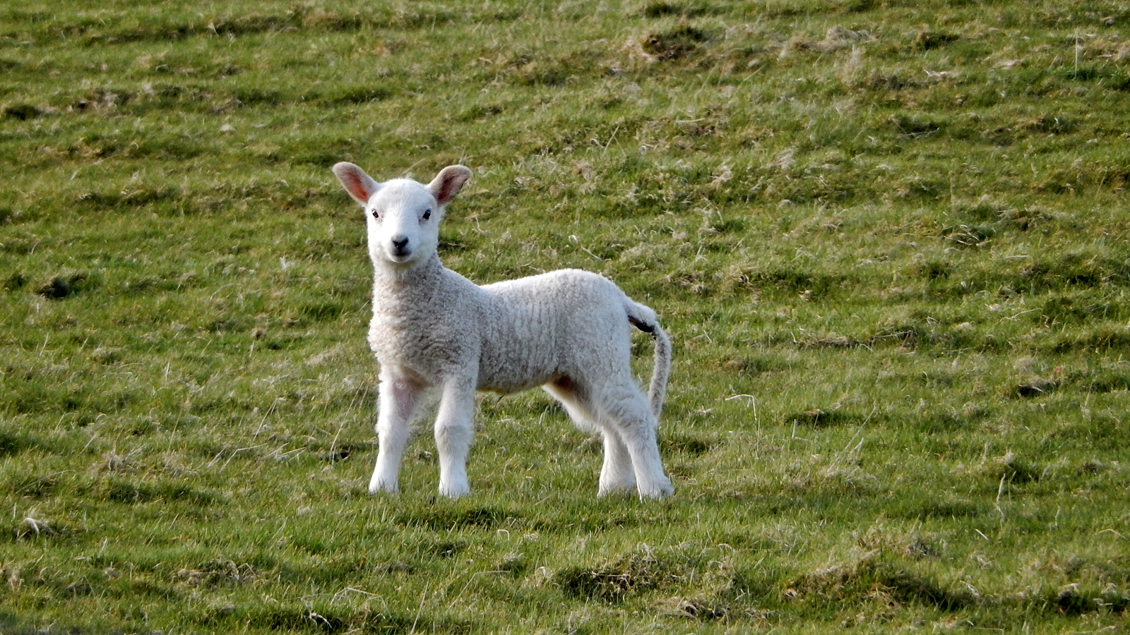
Easter lamb
After having visited Conwy Falls waterfalls we head for Conwy. It is said to have several campsites there.
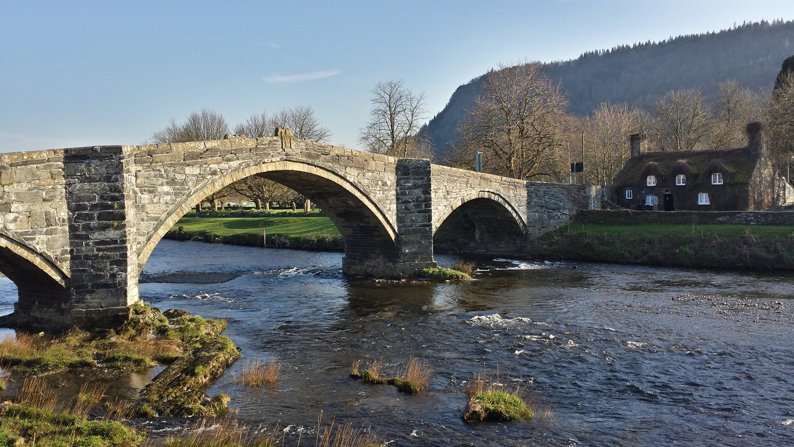
Bridge at Llanrwst
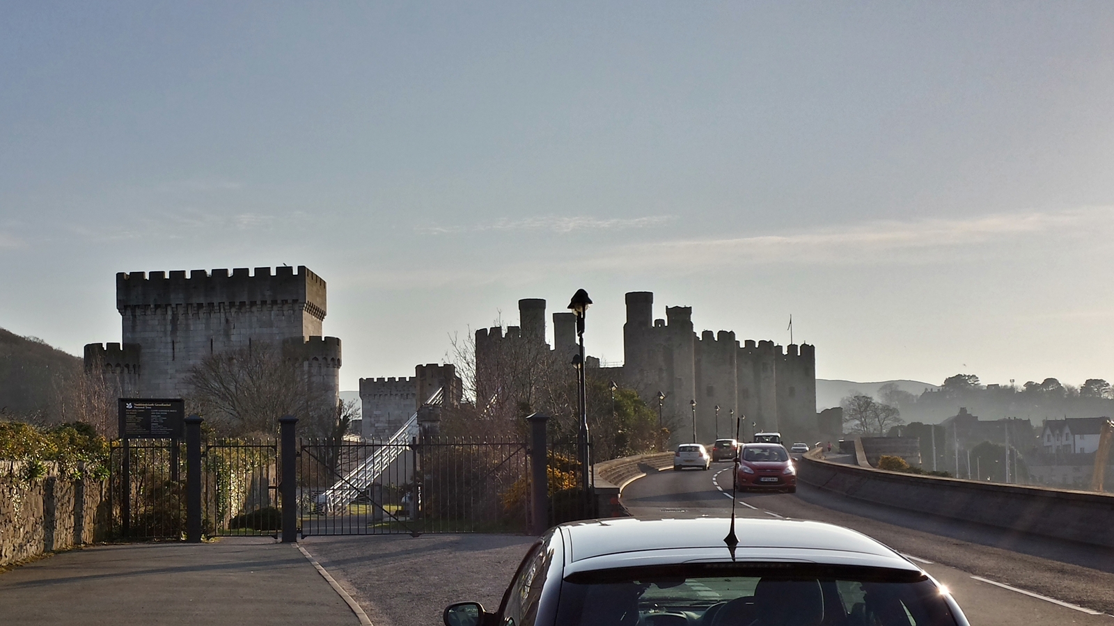
Conwy Castle
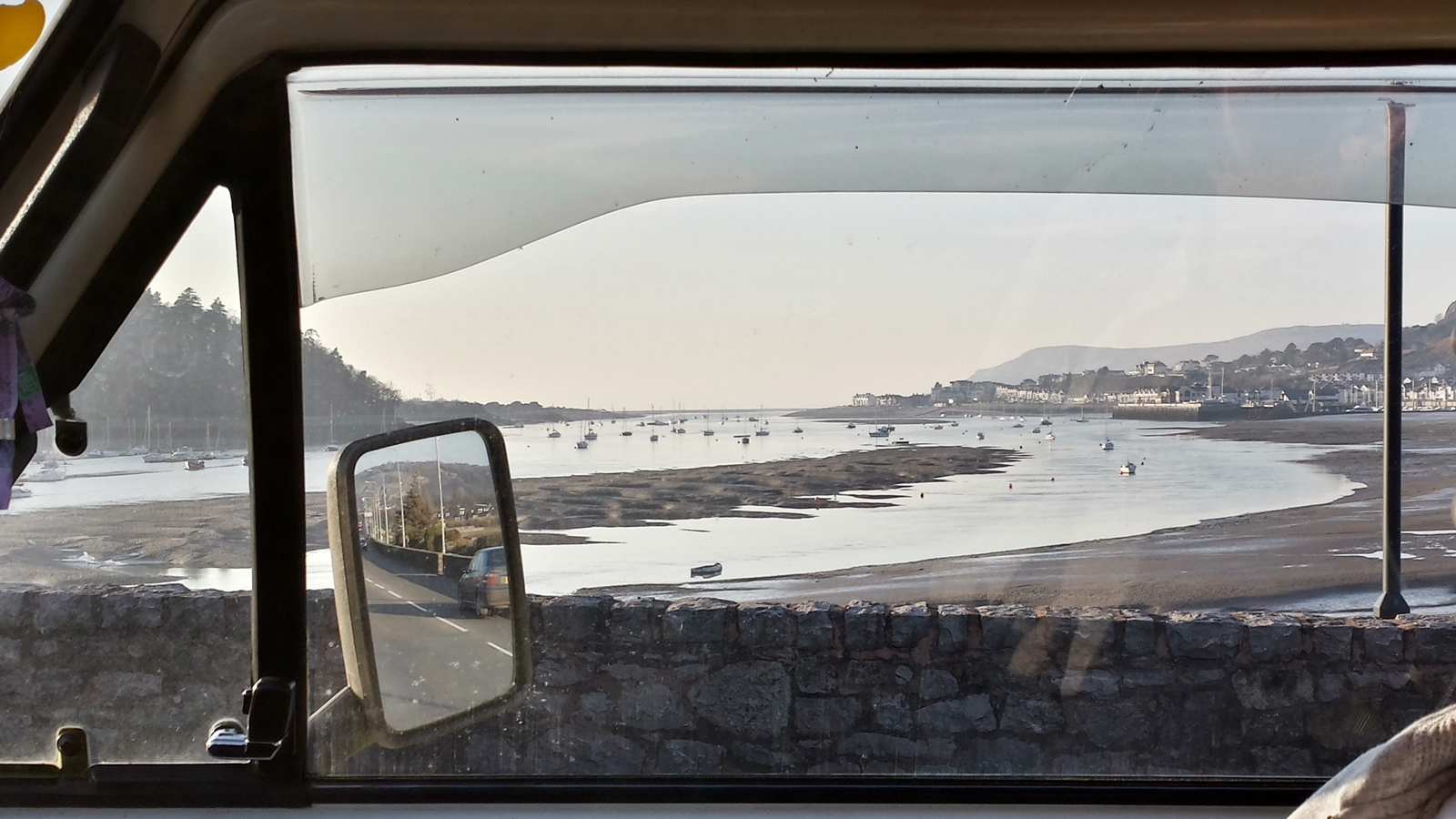
Conwy harbour, low tide
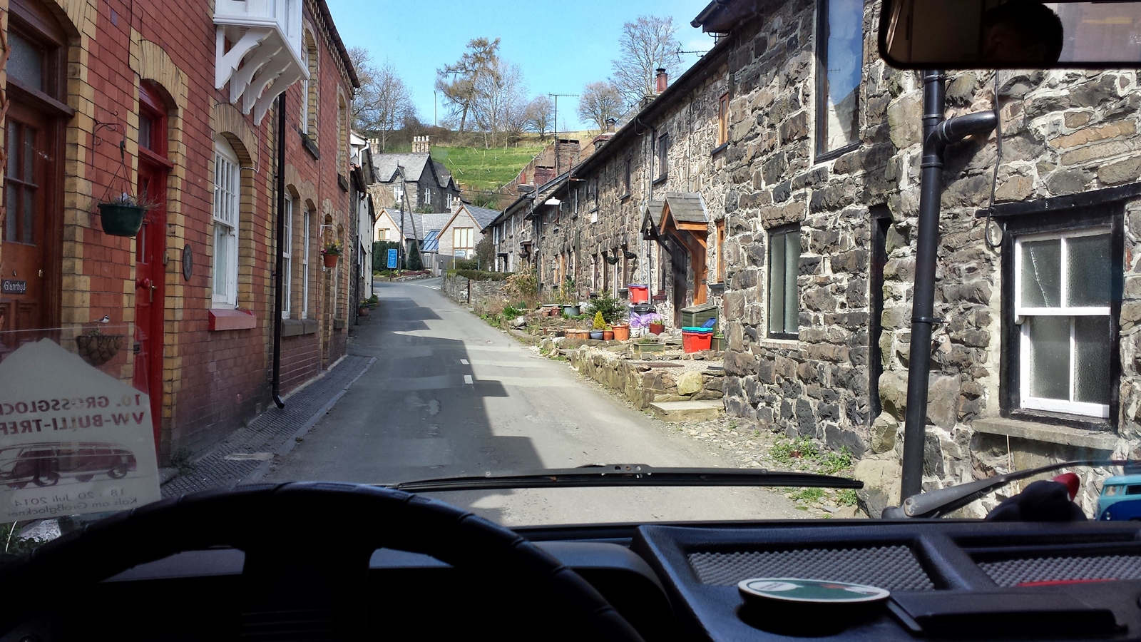
Unfortunately, yesterday evening’s experience shall repeat itself tonight. Campsites are either reserved for elite club members, non-existent or they already close their barriers before 5pm. After a long search we finally find a small campsite at the end of a remote valley in Rowen.
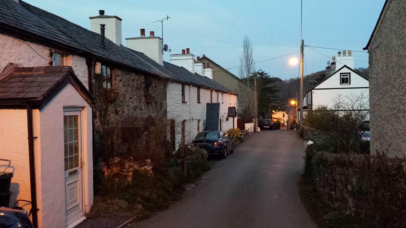
Rowen
It is a farm with a camping meadow but no staff around. Just as we want to pull off again the owner of Cefn Cae Campsite comes around and asks if she could help us. Normally that site is reserved for members of a caravan club only but we can convince her that our ADAC-camping card counts as a membership in a caravan club and that we are much nicer people than we look like. 😉
On the way to the site we had already spotted a pub, and since the son is about to become a bit ill the youth firefighter and I let him catch a bit of sleep and go for a beer (unfortunaltely the pub’s kitchen has just closed shorly before our arrival) to that really cozy pub.
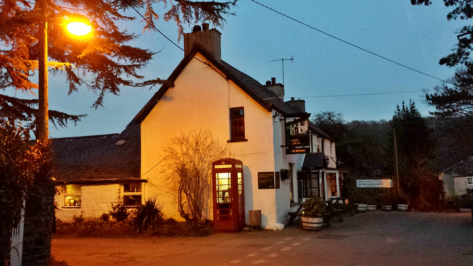
Pub in Rowen
By the way: Inside the campsite’s sanitary building hangs a big picture featuring a VW bus. Had I already mentioned how much English people love VW-buses?